
Reading a Braxton Parcel Map
The WV Property Viewer serves as the primary public surface map for Braxton County. Its toolbar is dense. Basemap, Parcel, Address, Flood Zone, Details, Highlight, Copy Link, Download KMZ, Delinquent Status, Community, and E-911 Address all appear as controls. So do External Links and Flood Info. An assessment-report link sits there too. Select a parcel, and the viewer can display its description, owner, physical address, building information, cost values, and appraised values.
| Layer | What It Shows | Use |
|---|---|---|
| Parcel and detail | Surface parcel geometry and selected parcel attributes. | Find the assessment report and the parcel's map identity. |
| Address and E-911 | Physical, emergency, community, and mailing labels. | Reconcile rural or town address variants. |
| Flood Zone | Flood-hazard context and links to further flood information. | Screen an area, then verify through the official flood resource. |
| Delinquent Status | Weekly-updated Delinquent Lands layer. | Follow up with the Sheriff or State Auditor. |
| Basemap and export | Geographic backdrop, copy-link, and KMZ download controls. | Orient or save a research view, not a survey. |
The viewer links out to an assessment report. Owner and value still live in the tax record. To verify a conveyance, take the parcel ID and legal description to the County Clerk's land records. To verify tax due, use the Sheriff Tax Office. A map pin or colored parcel never transfers land. The Braxton property search explains how the assessment result serves as the lookup key. The WV Property Viewer is the source for those layer and detail controls.
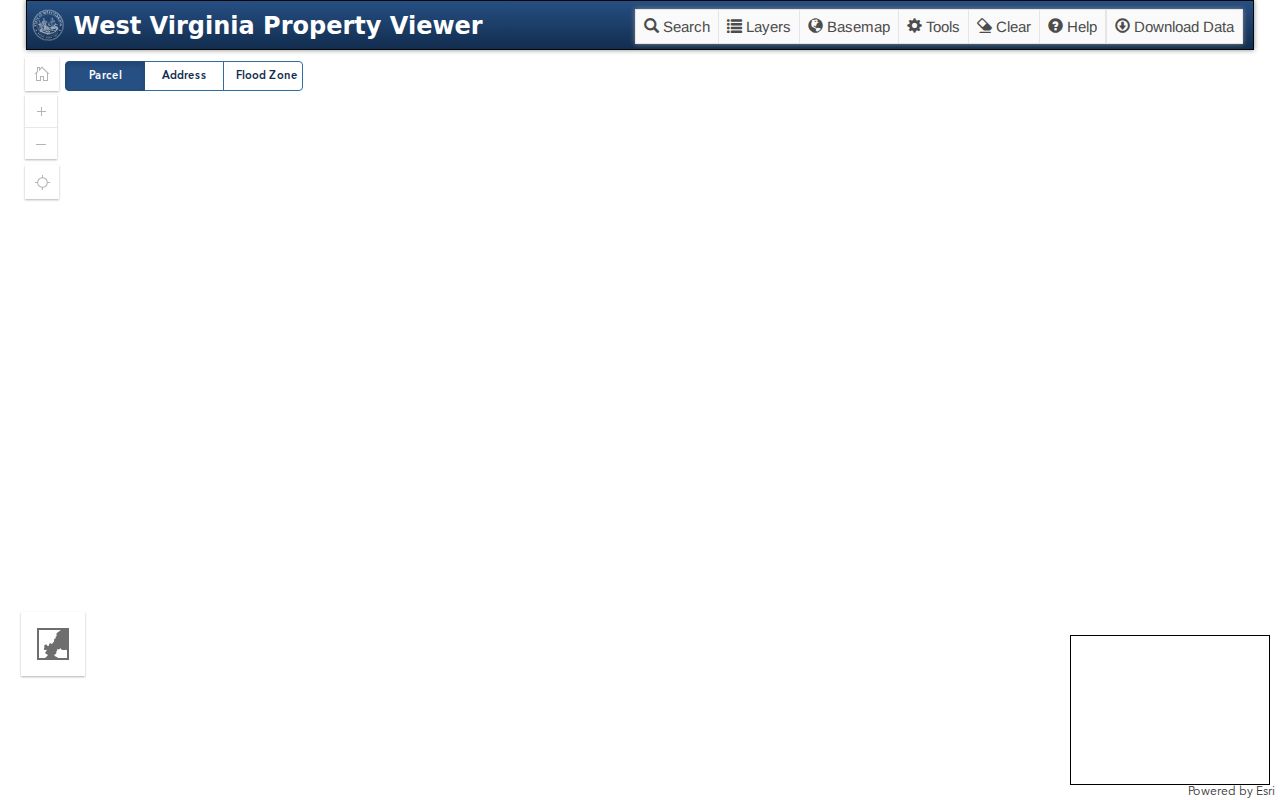
Let the parcel detail carry you from the map to an assessment card. Property rights themselves are verified through recorded instruments.
Braxton Parcel IDs Have Six Parts
A West Virginia parcel ID has six parts. The county code comes first, followed by district code, map number, parcel prefix, parcel suffix, and a special ID. The GIS ID drops the special ID. The CAMA/IAS form drops the county code instead. Some search fields accept a shorter district-map-parcel form as well. One caution applies. The statewide FAQ's sample comes from another county, so never copy it as a Braxton code. No published roster spells out Braxton's prefix ranges or district-to-map assignments. Copy the full ID from the assessment result. When an abbreviated value fails, inspect the label and format the current application uses. A parcel number is a cross-reference key, not a legal description or proof of a boundary.
Finding a Braxton Parcel by Address
Start with the map's Address search. The assessment form's Street Name field works too. Either way, compare the returned card against the map detail before trusting it. Rural naming can tangle. A single Braxton property may carry a community name, an E-911 address, a physical address, and a mailing address that do not agree. The county includes four towns and many unincorporated communities. But a tax district is not the same as a postal city. Keep the original wording from an older deed as an extra search clue.
- Search by address or use the assessment Street Name field to find nearby cards.
- Select the parcel and note its description, owner, physical address, District, and GIS ID.
- Compare Community and E-911 Address with the card's mailing and physical addresses.
- Open the assessment report, then use its legal description or deed reference for the Clerk's records.
- Turn on Flood Zone only as screening context and verify a concern through the official flood source.
- Parcel number
- A tax and map identifier used to retrieve a parcel record.
- Plat
- A recorded map that lays out lots or tracts and must be read with its deed reference.
- Lot and block
- A legal description that points to a lot within a recorded subdivision plat.
- Metes and bounds
- Boundary calls described by courses, distances, and physical or survey references.
- Easement
- A recorded right to use part of land for a stated purpose.
Braxton Deeded Acres Can Differ From GIS Acres
The assessment search shows two acreage figures. One is calculated. One is deeded. Calculated acres come from the mapped geometry, and deeded acres come from the conveyance or legal description. Deeded acreage controls for assessment when the two differ. An old description can also fail to fit a modern polygon, especially after a split or a later line submission. Treat the two fields as separate data points. If the calculated figure looks off, open the deed and plat rather than changing the historic record to match the map. Assessor geometry can take years to digitize. State guidance says to contact the assessor when line work stays stale for two years. A survey is needed when a boundary or acreage must support a legal decision.
Braxton Map Labels Follow Different Address Systems
The viewer sorts addresses into four types. Community, E-911 Address, Physical Address, and Mailing Address each carry their own label. The assessment search offers Street Name and Mailing Address fields. The form provides no street-number search. A street search can list several parcels along one road. The selected parcel ID tells a house apart from another property on the same road. Postal labels sit apart from all that. Municipal contacts list Burnsville 26335, Flatwoods 26621, Gassaway 26624, and Sutton 26601. Those ZIPs retrieve mail. They show no town boundary or tax district. Near a municipal edge, compare the assessor's District, Tax Class, Community, E-911, and physical-location fields, and ask the local addressing office if an emergency address looks wrong.
Braxton Flood and Delinquent Layers Need Follow-up
The map's Flood Zone tool is only a screening aid. For official flood information, turn to the WV Flood Tool. The parcel viewer's context is not a flood determination. No viewer layer can capture every insurance condition, elevation fact, or legal restriction. Check with the relevant flood authority first. The Delinquent Lands layer updates weekly. The documented dp parameter exposes it. A delinquent symbol means check the Sheriff Tax Office and the State Auditor, since it does not prove a tax deed or a completed title change. The viewer with that layer requested shows the toggle in place.
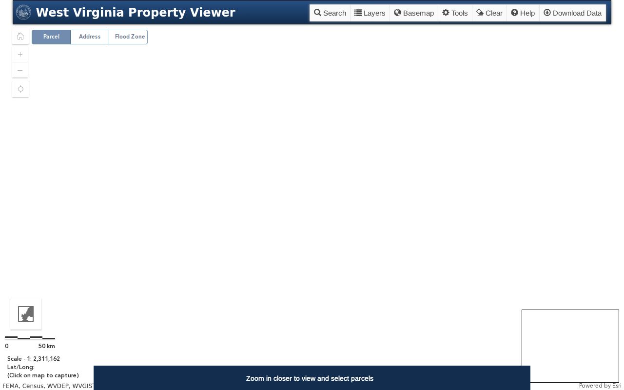
Check the tax-year, district, parcel, and certificate records behind every map marker.
Braxton Parcel Map Data Can Be Downloaded
County assessors keep their own surface tax maps. The state compiles an annual master surface file from county GIS and assessment attributes, per the viewer FAQ. SB 588 makes the Clearinghouse's surface tax-map and GIS files free. A KMZ export can save an area for later comparison. A full dataset supports deeper work outside the viewer. Neither download, though, certifies a boundary line or changes the record. The data stays surface-focused. Mineral parcels never appear in the viewer. Braxton's Assessor treats them differently: royalty interests sit on real-property books, while working interests go on personal-property books. A mineral-rights question needs more. The assessment and the recorded instruments govern, not just the visible surface layer. For the files, use the WV GIS Clearinghouse dataset page.
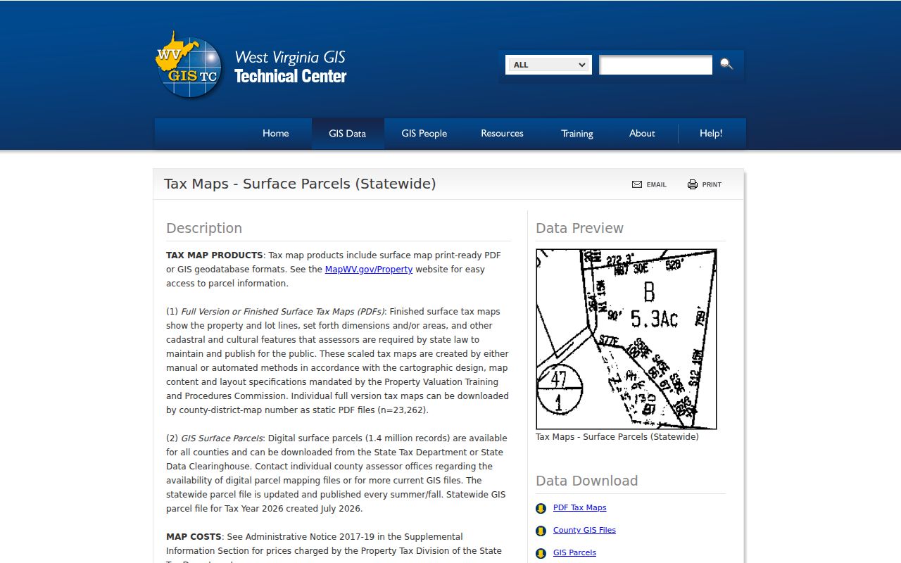
Get digital maps from the Clearinghouse, plats from the Clerk.
Braxton Parcel Notes Should Keep Both Identifiers
Two screens can show two parcel identifiers for the same Braxton County parcel, one on the assessment card and one in the map viewer. The state system uses a six-part Full Parcel ID. The viewer also exposes a GIS parcel ID that can omit the special-ID component. Copy both exactly. Note which screen supplied each number. A shortened ID may still be useful in a search box. It should never replace the complete identifier on a deed or in an assessor inquiry.
Copy Link preserves the current map view. Its Download KMZ option produces a portable surface-map layer. Both are research aids, and neither creates a new official boundary record, since the statewide surface files refresh every year from county mapping and assessment data. The plat still governs. Before relying on an outline or a calculated acreage, compare the viewer with the recorded instrument and the legal description.
What Braxton Parcel Maps Do Not Prove
The WV Property Viewer is a tax reference. So is the assessor map. Parcel edges are pieced together from deeds, plats, surveys, and local map files, so a geometry can lag behind a recent split or a corrected description. A mapped line may not match the fence. The assessor expressly disclaims the viewer as a title search, survey, appraisal, or zoning check. For deeded acreage and lot layout, use the recorded instrument and plat.
Not a survey. Braxton parcel maps show approximate tax geometry for reference. Use a licensed surveyor to resolve a boundary before building, fencing, or settling a land-line dispute.