
Looking Up Owners Around a Braxton Property
Two tools carry the job in Braxton County. The WV Property Viewer draws the parcel map. The assessment search answers the ownership question. Start by selecting the subject tract on the map. Its neighbors appear as adjoining polygons with visible parcel numbers. The viewer offers no select-adjacent or buffer control. There is no single click that builds a block list. Write down each bordering parcel number. Then pull the owner, mailing address, district, and legal description from the assessment roll one tract at a time.
| Source | What It Shows About a Block | Access |
|---|---|---|
| WV Property Viewer | Selected surface parcel, nearby polygons, and map context. | Free map; adjacent/buffer tool was not confirmed. |
| WV assessment search | Owner, mailing and physical address, district, and parcel details. | Free search by Street Name or parcel components. |
| Braxton County Clerk plat records | Recorded lot layout and legal description references. | Ask the Clerk for the plat book and page. |
Owner fields answer a narrow question: whose name does the county associate with the parcel? They say nothing about who occupies the house. A mailing address can be out of state or a PO box. Parcel lines on screen are not certified boundaries either. Treat the block list as a starting point. Use it for checking a legal description or an easement. When exact measurements matter, hand the question to a licensed surveyor.
The WV Property Viewer page displays the selected-parcel and map controls Braxton users work with.
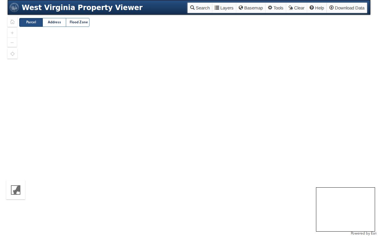
Select a parcel and list its neighbors' IDs. The owner of record for each adjoining tract comes from the assessment roll, checked one parcel at a time.
Mapping Adjacent Braxton Parcels Takes Two Searches
The state parcel viewer for Braxton offers parcel detail, highlight, map navigation, and address search. There is no built-in radius or select-by-location control. The work stays visual. Select the subject tract first. Trace its edges and note every parcel number that appears to touch it. Each adjoining parcel then goes through the assessment search or the parcel detail link for its owner, while the map itself nominates candidates rather than proving legal abutment.
- Locate the subject by address or parcel and save its complete parcel ID.
- Zoom to nearby surface polygons and write down the IDs that appear to share an edge.
- Search each ID in the assessment roll and record owner, district, mailing address, and legal description.
- Compare a recorded plat or deed when a shared line, easement, or access route matters.
- Parcel
- A tax-map unit used to organize assessment and geographic information.
- Adjacent
- Touching on the displayed geometry; a survey may reach a different conclusion.
- Buffer
- A selected distance around a feature; a Braxton viewer buffer tool was not confirmed.
- Plat
- A recorded map of lots or tracts, read with its book and page.
A Braxton Street Search Can List the Block
The Street Name field on the assessment form can pull every parcel on one road, a strong fallback when the map shows no neighbor tool. Try spelling variants. Attach the district, community, physical address, and E-911 label to every result so nothing blurs together. The form lists no house-number field. A street query may reach past the lots that actually touch yours. Narrow the set afterward with a parcel ID.
The WV assessment search offers owner, street, district, map, parcel, sub-parcel, and mailing-address fields. Rural neighbors complicate the picture. Two adjoining tracts can sit on different roads or share a private drive. Street adjacency is not the same as touching land. For the boundary itself, consult a plat or a recorded survey.
Braxton Neighbor Owners Must Be Checked Parcel by Parcel
A map shows the polygons. Ownership comes back one parcel at a time. For each tract on your list, check the owner name and mailing address. Compare legal descriptions when lots share an edge. One person often holds several nearby tracts. Similar names can also point to different people or entities, so never merge records on a road name alone.
An LLC or trust on a parcel points to the Secretary of State for the entity story, but the deed remains the land record. The County Clerk's directory holds deeds, plats, and related instruments. Timing matters too. The Braxton current-owner record method explains how to confirm the latest recorded transfer for a single parcel.
Braxton Town and ZIP Lines Can Split a Block
Braxton County has four towns. Burnsville, Flatwoods, Gassaway, and Sutton are the municipalities, with rural communities beyond town limits. A block near a town edge can carry one ZIP label, a different tax district, and a separate E-911 community value. ZIP codes can mislead. Compare the assessment record's Tax Class, District, Community, and physical address.
The Secretary of State's municipal contact directory lists each town's official contacts. Permit and zoning searches are another matter. These towns publish no online portals. A boundary question goes to the town clerk. Geography matters here because a single street can cross from a town district into an unincorporated community. The West Virginia municipal contact page is the official starting point.
Municipal offices set boundaries; parcel records stay with the county.
Braxton Neighbor Maps Add Flood and Tax Flags
The viewer's Flood Zone layer adds hazard context around a group of parcels. Treat it as a first-pass indicator only. Official flood information lives in the WV Flood Tool. The Delinquent Lands layer updates weekly and can be enabled with the documented dp parameter. Neither layer proves a surveyed boundary, a completed tax sale, or a transfer of title.
See a parcel in the delinquent layer? Check the tax year, certificate, parcel, and status with the State Auditor and Sheriff Tax Office. Keep that result apart from the adjoining-owner list. The map flags where to look. The bill, notice, sale, redemption, or deed behind the flag tells the real story.
Mapping a Braxton Block's Owners
Open the WV Property Viewer. Enter a Braxton address or parcel number you already know. Zoom in until the surface parcel sits centered on the GIS map. Every shape touching it is a candidate neighbor. Note those parcel IDs, then pull each one up in the Braxton County assessment roll for its owner of record, mailing address, and legal description. Screen adjacency alone proves nothing, since tax-map geometry is not a survey. The county offers no verified radius search. A block lookup in Braxton County therefore blends the map with the assessment data. It goes parcel by parcel.
- Search the address or parcel ID in the West Virginia Property Viewer and save the selected parcel's full ID.
- Zoom to adjacent outlines and note each candidate parcel ID without treating the drawn edge as a legal line.
- Search each ID in the assessment application and record the owner, mailing address, district, and description.
- Use the deed index or recorded plat when an easement, shared access, or boundary is the real question.
- Parcel ID
- The tax-roll key used to distinguish one parcel from another.
- Adjacent parcel
- A candidate lot that touches on the displayed geometry; confirm its legal boundary separately.
- Buffer
- A distance-based selection around a feature; a built-in Braxton viewer buffer tool was not confirmed.
Privacy Limits on a Braxton Neighbor Lookup
A neighbor lookup stops at the land records. Those records stay open only for a lawful property purpose. An owner field is not an occupant list. A mailing address on the assessment is part of the tax roll. It is not a tool for watching or targeting a person. West Virginia's Address Confidentiality Program gives qualifying participants a substitute address. It does not erase every historic land filing. Those safeguards deserve respect. Take any parcel question about a Braxton County property to the official recorder. The assessor channels handle the rest.
Lawful use. Use Braxton neighbor records for boundary review, property diligence, and civic research. Do not use owner names or addresses to stalk, threaten, or harass anyone.